


Brief micro-earthquake swarm east of Sýlingarfell last Saturday
Updated 14 October 2025
Key points
A brief micro-earthquake swarm occurred east of Sýlingarfell on Saturday evening.
Deformation measurements over recent weeks indicate that uplift and magma accumulation continue beneath Svartsengi.
There remains considerable uncertainty about the timing of the next event.
The current hazard assessment remains unchanged and is valid for two weeks, unless activity increases.
Current situation
A short-lived micro-earthquake swarm was recorded east of Sýlingarfell on Saturday evening. The activity lasted about one hour before subsiding. No significant changes were observed in GPS measurements, fibre-optic strain data, or borehole pressure in Svartsengi during the swarm.
Similar micro-earthquake swarms have been observed a few weeks before previous eruptions along the Sundhnúkur crater row, such as those in May and November 2024. Increased seismic activity of this type indicates rising pressure in the magma accumulation zone, though the exact timing of the next event remains uncertain.
Deformation measurements
Deformation measurements in recent weeks show that uplift and magma accumulation continue beneath Svartsengi.
When looking at the rate of uplift over several weeks, there are indications that the rate has slowed slightly.
Since the last eruption, which began on 16 July, between 12 and 13 million cubic metres of magma are estimated to have re-accumulated beneath the Svartsengi magma storage area.
Based on previous events along the Sundhnúkur crater row, the likelihood of a new magma intrusion or eruption increases once a similar amount of magma has accumulated as was released in the last event. The volume of magma that left the system during that eruption is estimated at 11–13 million cubic metres, and the lower limit of that range was reached around the turn of the month.
Analysis of previous events has enabled the Icelandic Meteorological Office to estimate the range of accumulated magma volumes that could trigger the next intrusion or eruption.
The upper limit of that range is estimated at about 23 million cubic metres, which, according to model calculations, would be reached by late December, assuming the current accumulation rate remains steady.
There is therefore still considerable uncertainty regarding the timing of the next event.
Seismic activity and subsidence near Krýsuvík
Seismic activity continues near Krýsuvík, with numerous small earthquakes detected daily.
Ground subsidence also continues in the area, amounting to approximately 50 mm at the Móhálsadalur GPS station since early June.
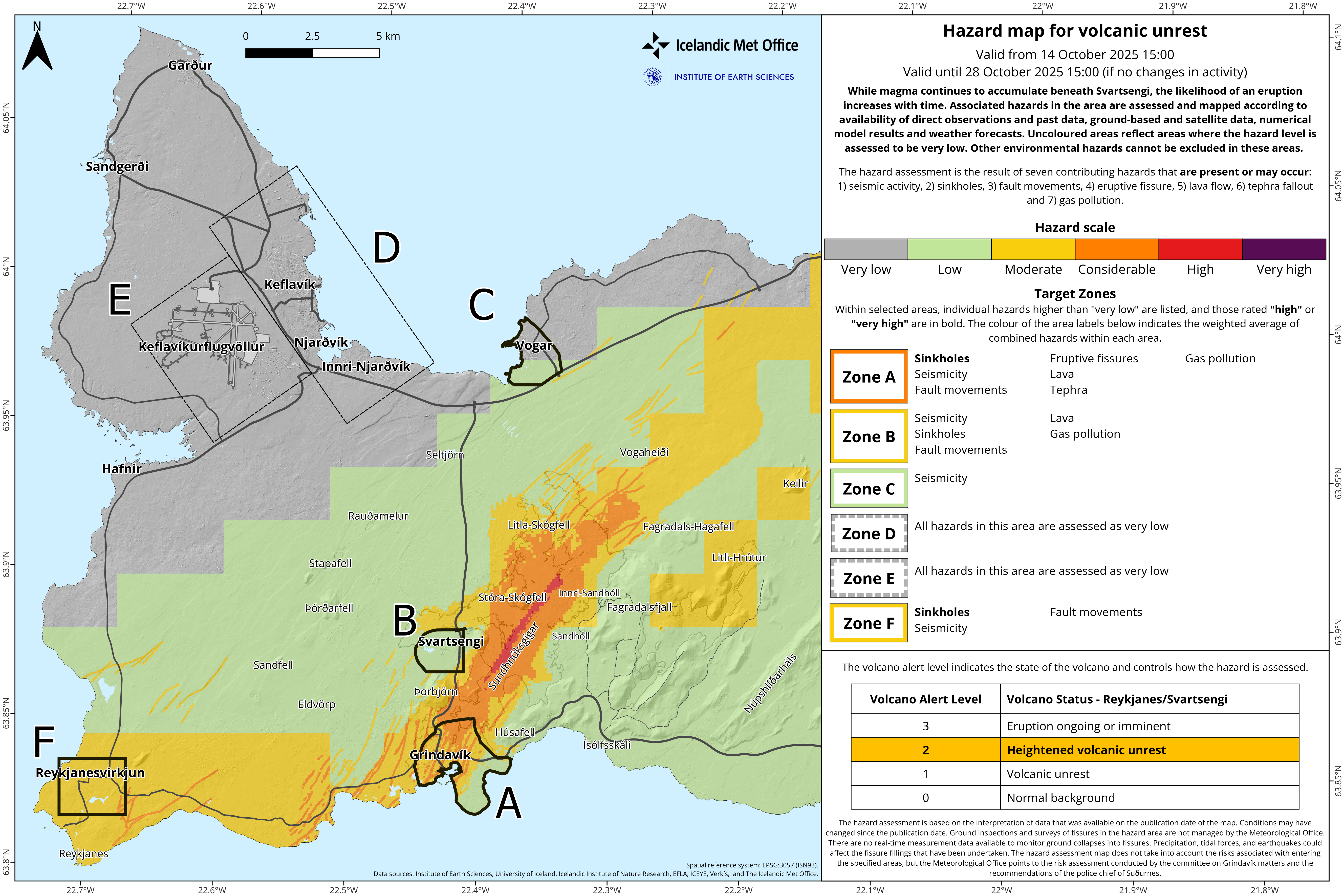
Hazard map
The hazard map for the Reykjanes–Svartsengi area has been reviewed and remains unchanged until 28 October, unless new activity warrants an update.
Continuous monitoring
The Icelandic Meteorological Office maintains 24-hour monitoring of all natural hazards in Iceland.
Real-time surveillance of seismic, deformation, and gas data
Warnings issued when necessary
Information on activity published in news updates on vedur.is
Situation reports shared daily with key stakeholders and response agencies
Weekly summaries on the status of volcanic systems distributed to relevant partners
More detailed information on Iceland's volcanic systems can be found on the Icelandic Volcano Web Portal: islenskeldfjoll.is

www.malaymail.com/news/world/2026/01/11/bomb-attac…
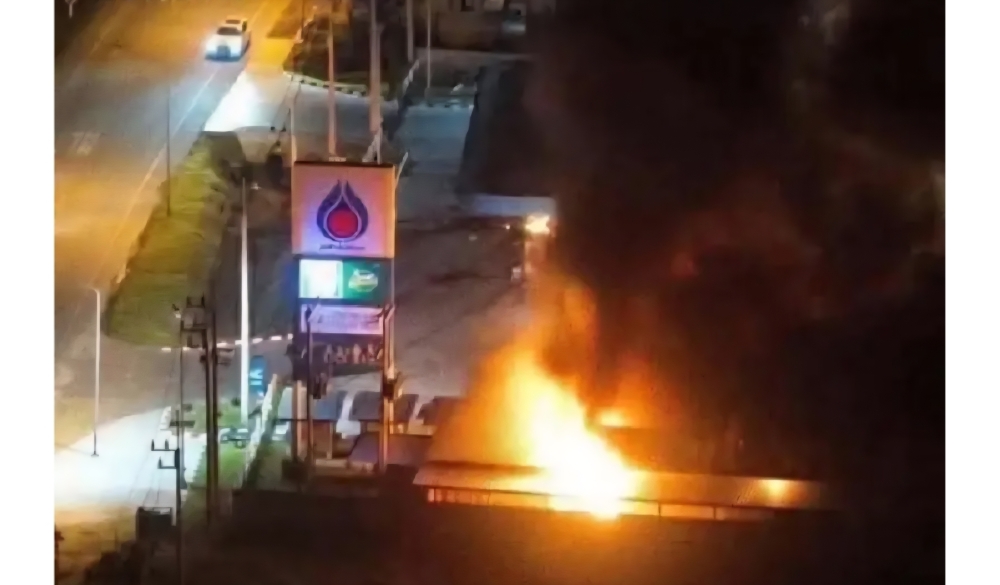
BANGKOK, Jan 11 — A series of late-night bomb attacks targeted 11 PTT petrol stations in Thailand’s southern border provinces of Narathiwat, Pattani and Yala…
www.khaama.com/at-least-eight-refugees-die-37-resc…

At least eight refugees died and 37 were rescued when their boat sank off Badmeli near Izmir, Turkish authorities said on Saturday.
katu.com/news/local/oregon-confirms-first-measles-…

Health officials in Oregon have confirmed the state's first measles cases of 2026, with two people diagnosed in Linn County.
abc11.com/post/measles-north-carolina-state-report…

Measles in North Carolina: State reports 5th case linked to South Carolina surge