Iceland Volcano: Ground Uplift and Magma Accumulation Continue Beneath Svartsengi
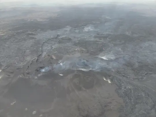 Photo Sept. 5 of the two craters. No activity is visible. (Photo: Public Safety/Björn Oddsson)
Low Seismic Activity in the Area of Unrest
Seismic activity remains relatively low at the Sundhnúkar crater row.
Uplift and magma accumulation are ongoing beneath Svartsengi.
Interpretation of the most recent data indicates that an eruption in November is considered to be unlikely.
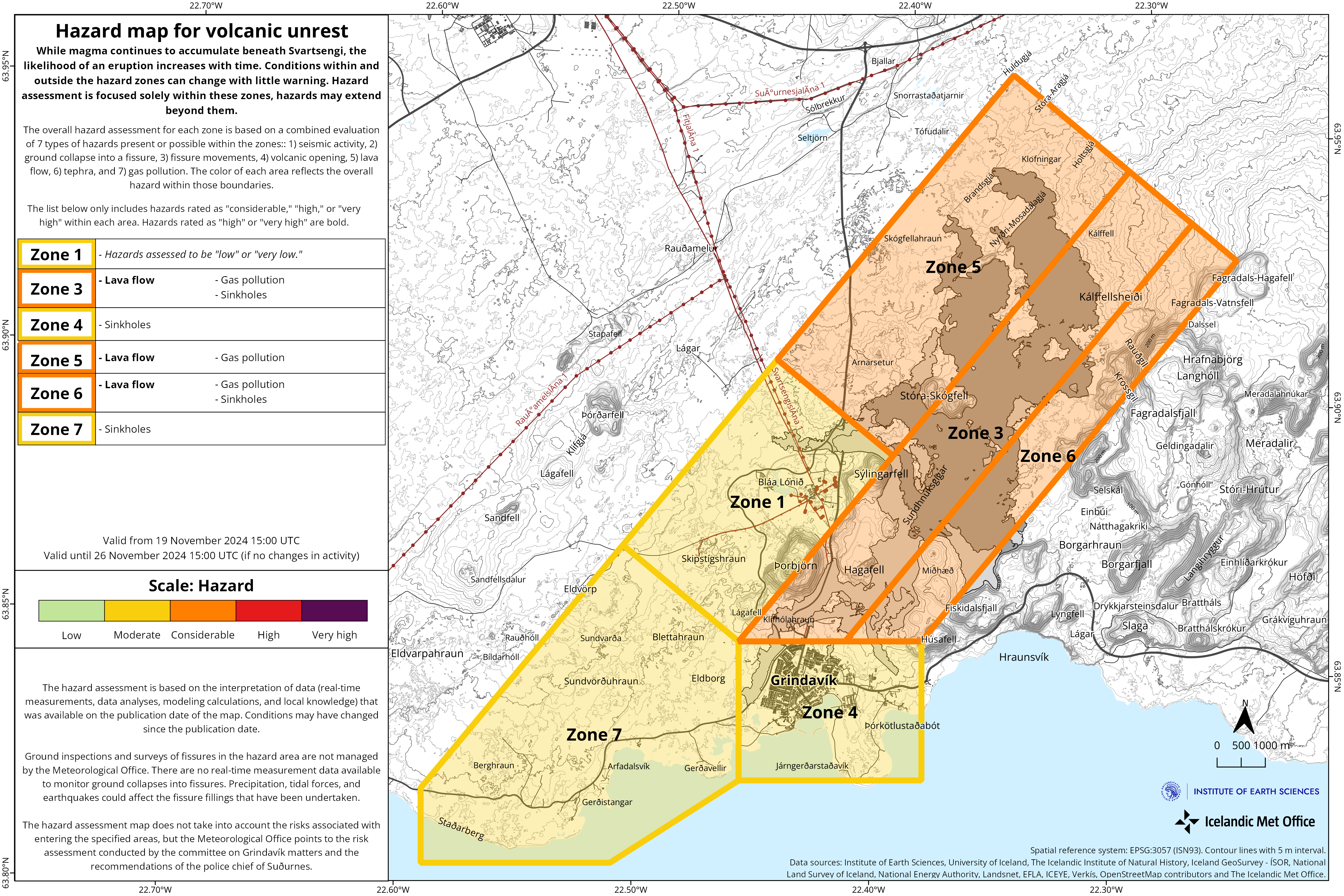
The hazard assessment remains unchanged.
Seismic activity in the Sundhnúkar crater row remains relatively low. A few earthquakes have been recorded daily, most of them located between Stóra-Skógfell and Sýlingarfell. On some days in the past week, bad weather has affected the sensitivity of the seismic monitoring system, potentially obstructing the detection of the smallest earthquakes.
Uplift and magma accumulation beneath Svartsengi continue. However, GPS measurements have shown indications that the rate of uplift may have slowed in recent days. It is too early to definitively conclude whether these changes indicate a slowdown in magma inflow, as similar variations have been observed across the GPS network far from Svartsengi. At this stage, external factors, such as space weather or changes in satellite orbits, cannot be ruled out as a possible cause.
If the GPS measurements reflect genuine changes in deformation and a slowdown in uplift and magma accumulation, this will become clearer next week when new satellite images are available to conduct a comparison with the deformation measured by the GPS network.
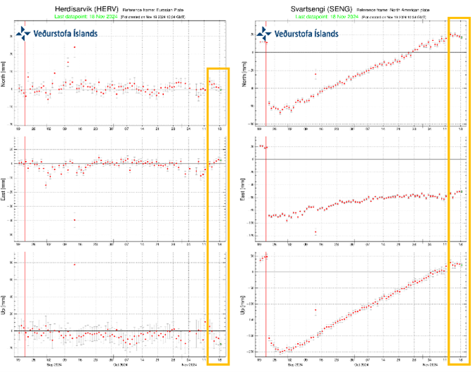 Graph comparing measurements from two GPS stations on the Reykjanes Peninsula, located in Svartsengi and Herdísarvík. During the period marked by the orange box, changes in deformation are visible in both Svartsengi and Herdísarvík, which is considered to be unusual. Many factors can cause small systematic shifts that are unrelated to ground deformation. Examples include issues with the reference system, satellite orbits, or solar activity (space weather).
Hazard Assessment Unchanged
The Icelandic Meteorological Office's scientists continue to assess that it is unlikely sufficient pressure will build up to trigger an eruption in November. One factor supporting this conclusion is the low seismic activity measured in the area. If the rate of uplift in Svartsengi changes or if there is a significant increase in seismic activity, this assessment will be revised accordingly.
The IMO has issued an updated hazard assessment, which remains unchanged from the previous one. This assessment is valid until November 26, barring any significant developments.
- CategoriesEdited | All Content | Disasters | Earthquakes | Volcanos | Government | Science | Europe | Atlantic Ocean | News -- WNT Selected | Text | Images
- Date rangeTuesday, November 19, 2024
- Last modifiedMonday, November 25, 2024
